Position maps
Position maps display archived coordinates interactively. Viewing a map changes no business data and creates no audit event.
Driver card
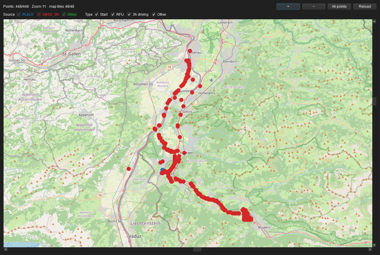 Figure: C positions on OpenStreetMap with source and type filters.
Vehicle unit
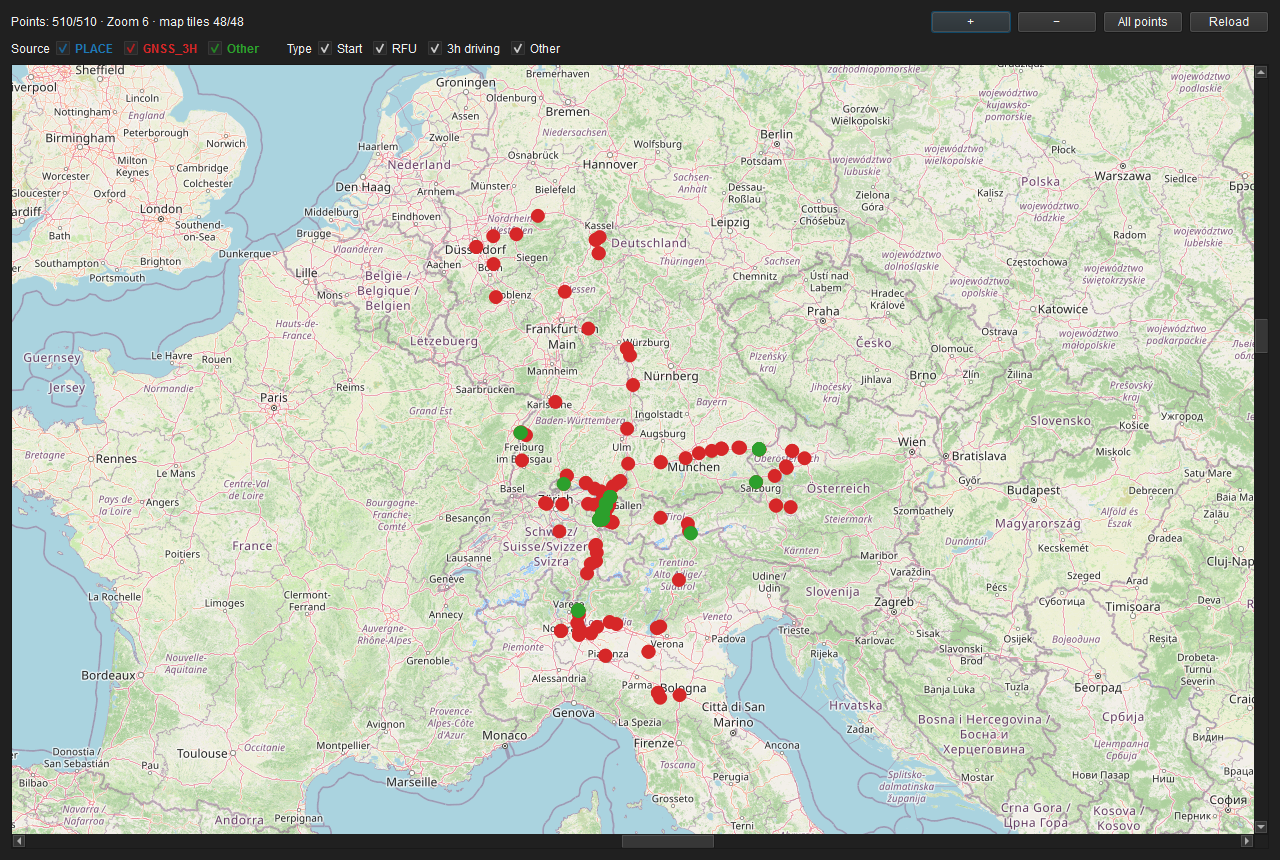 Figure: M positions, border and loading records on OpenStreetMap.
Operation and interpretation
- + / − zoom; drag to pan; All points restores the complete extent.
- Source filters toggle PLACE, GNSS-3H and other records.
- Type filters distinguish begin, RFU, three-hour GNSS, border and loading records where present.
- Marker colours follow the legend. Click or hover to see time, source, type, driver/card or vehicle reference and available location text.
- Filters affect display only; the archive object and position list remain unchanged.
The map uses OpenStreetMap tiles and displays the required attribution. Building the view requires connectivity to the configured tile endpoint; tiles may subsequently come from the local cache. A missing location name is not a missing point: coordinates can exist even when nation or region cannot be resolved unambiguously.